Use these icons: Email us, Facebook Page, Instagram, Twitter, iTunes for podcasts, and our Youtube channel
Monogram Lake/Lookout Mountain
Cascade River Road Area
Miles: 10 miles roundtrip to the lake
9.5 miles roundtrip to lookout
Elevation: 4,000 feet gained into and 550 feet gained out from the lake
4,500 feet gained to lookout
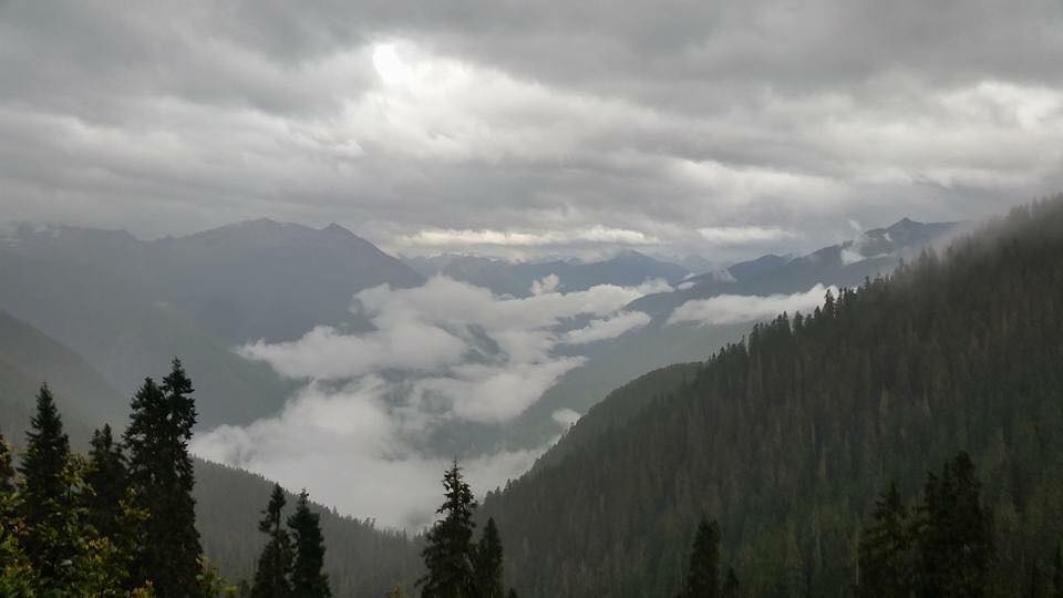
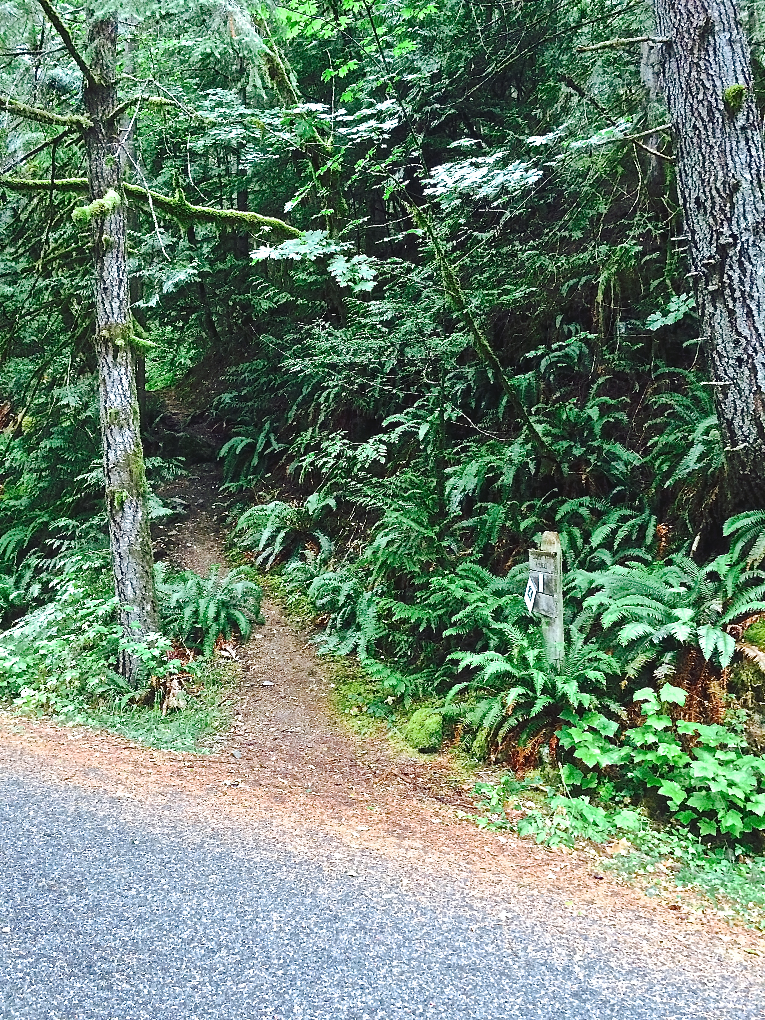
This trail starts off steep! You reach a ridge and soon climb to a junction just under three miles from the parking lot. Turn right to the lake or left to Lookout Mountain. If heading to Monogram Lake, the trail soon enters meadows and tops off on an open ridge. The path then descends just over a half of a mile to the lake in a beautiful setting. To reach the Lookout Mountain The climb to Lookout Mountain stays steep for a half of a mile and then levels out across an open ridge. It then climbs again to the top where numerous peaks will be seen.
- Get there: From I-5 take Highway 20 east to Marblemount. Turn right onto Cascade River Road at the edge of town where the highway makes a 90 degree left hand turn. The trailhead parking is at about seven miles up the Cascade River Road on the right with the trail on the left.