Use these icons: Email us, Facebook Page, Instagram, Twitter, iTunes for podcasts, and our Youtube channel
Suiattle River
SUIATTLE RIVER ROAD AREA
Miles: 13.6 miles roundtrip
Elevation: 1,000 feet gained
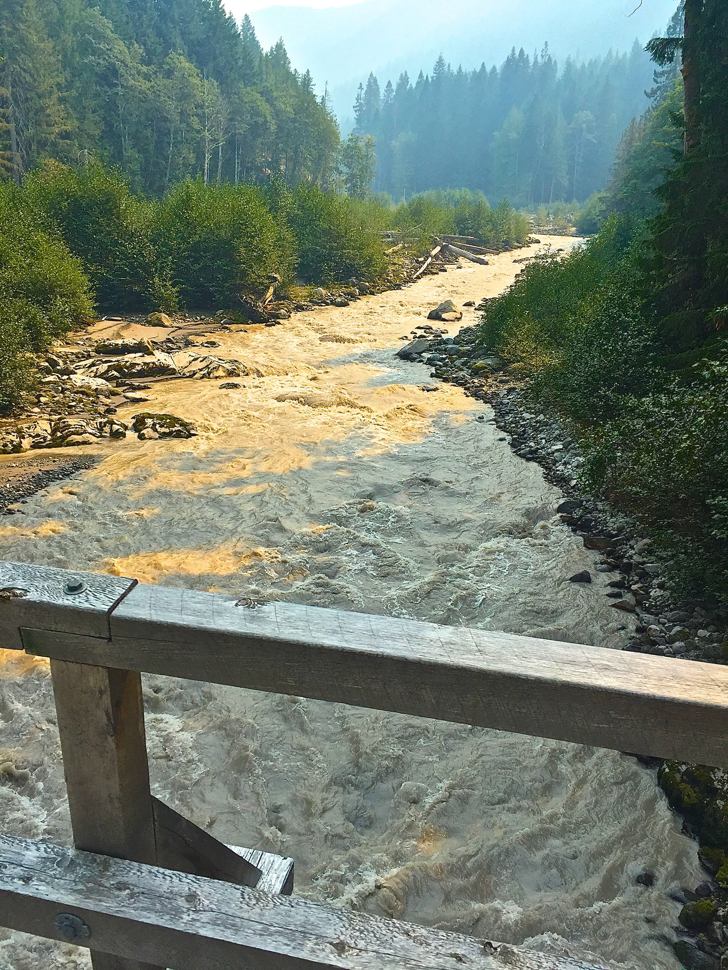
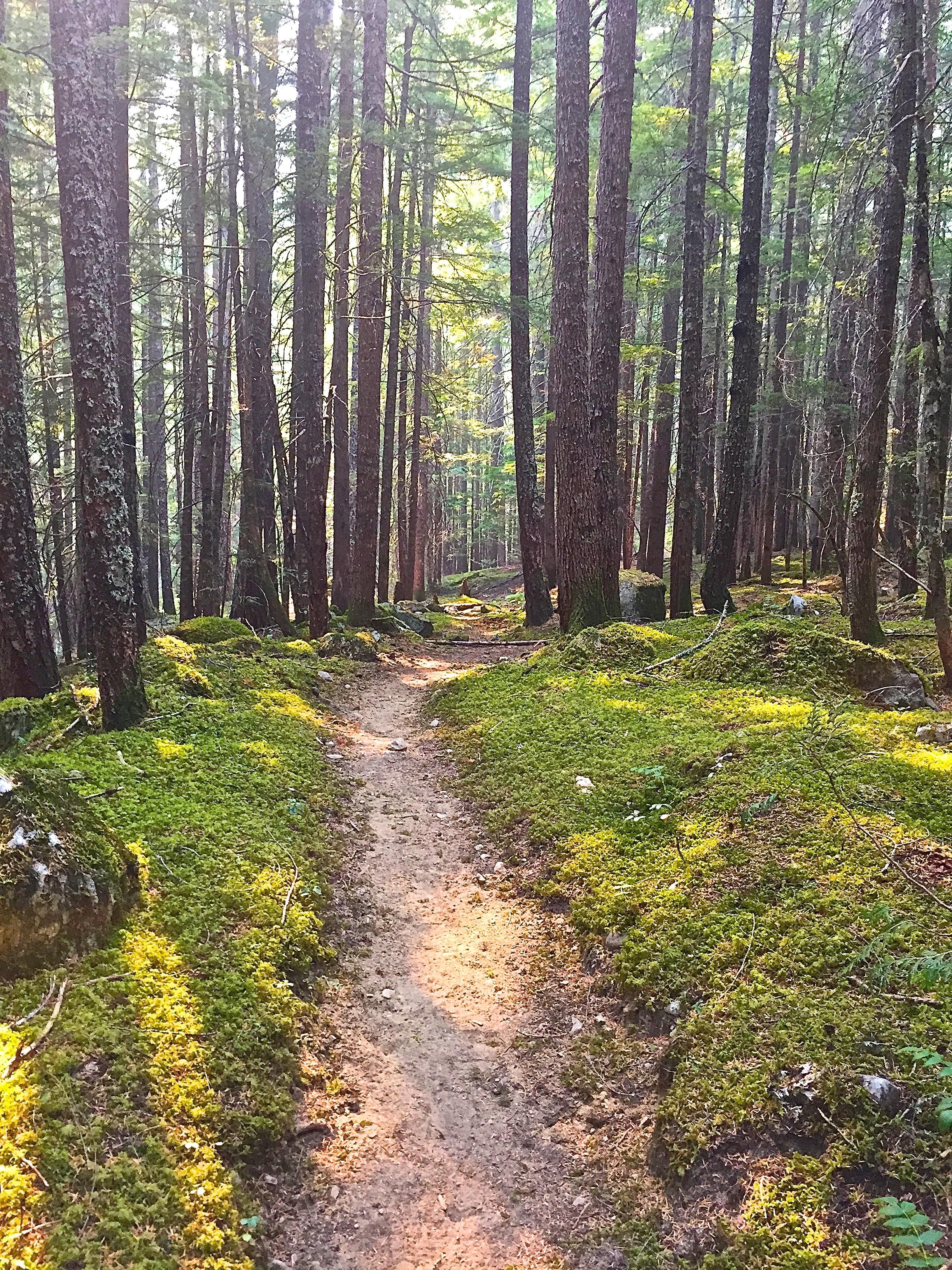
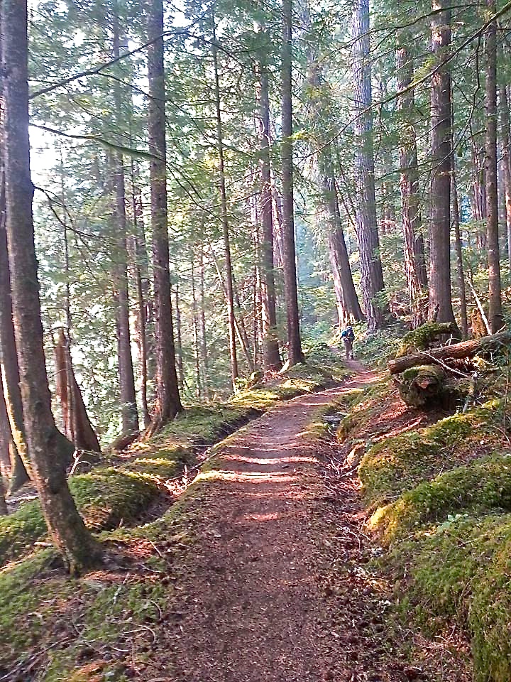
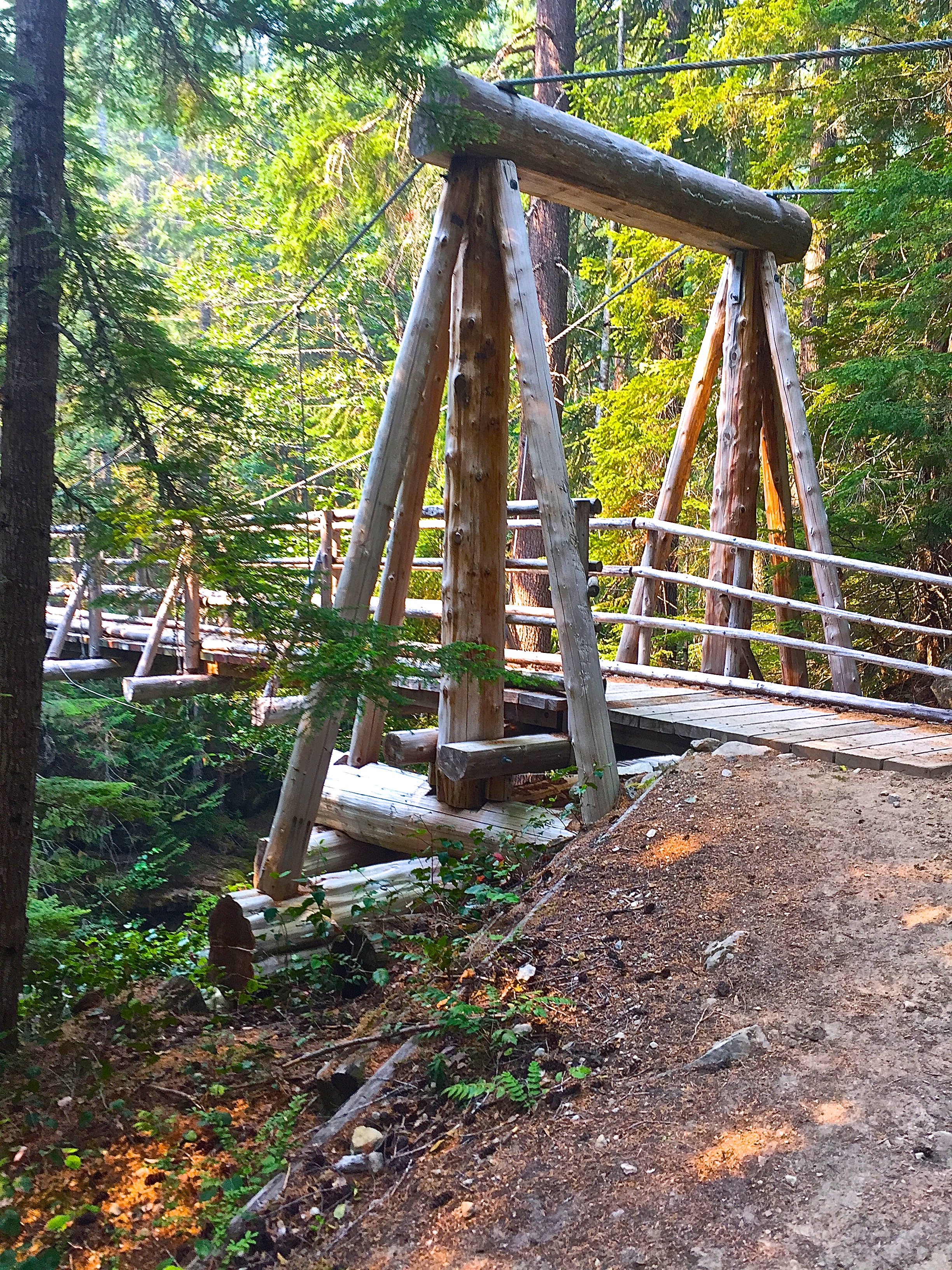
This is a stock and hiker trail that stays mostly at a distance from the river. After about three miles there are a couple of dry campsites. As it dips in and out crossing many small seasonal creeks, the trail reaches a bridge over reliable Canyon Creek and a number of campsites. Intersect the Pacific Crest Trail in about a quarter of a mile. Take a right and walk a short distance to a bridge over the Suiattle River. Walk past the bridge about a mile and see a grove of huge Red Cedar trees.
CLICK HERE to see pictures of the Pacific Crest Trail south from the Suiattle River
- Get there: Take Highway 530 through Darrington and over the Sauk River on a grated bridge. Just after this bridge, take a right onto Suiattle River Road (11 miles to Highway 20). Starting as a mostly paved road, it soon turns to gravel. This trailhead has a very large parking lot with toilets at the road's end, nearly 24 miles.